Owtago Peninsula - ow, ow, ow!
Note to self: do not ride ≅50km then walk another ≅10km up steep hills. It hurts.
Stopped at Mackenzine Bay on the way out and had some boysenberry icecream. ’T’was beyond delicious, and a great temptation to emulate that British icecream commercial which got itself banned. The ride to the end of the Peninsula (Harington Point, yes, only one ‘R’) was dead easy, with no real hills excapt for that last one up to the albatross place.
I rode 10km back down the coast, took a left, went over a hill, took some pix of waterbirds, and the rest was near-vertical dirt roads until I have up and asked a German couple for a lift back to the next flat bit, which they insisted was Dunedin.
Since everything hurst, here’s another photo-blast:
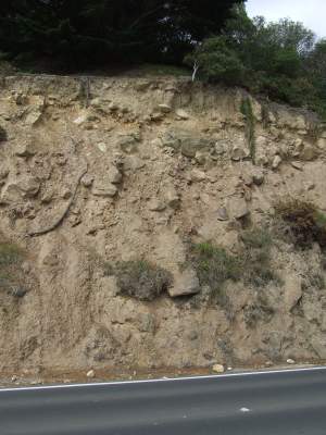 The road cuttings were a real education. Most of them were basically rock and mud, which the trees were effortlessly peeling off. I imagine that many of the drivers were slow because the occasional fast one would find a dog-sized rock, with consequences which may well be imagined. However, there were several interesting variations.
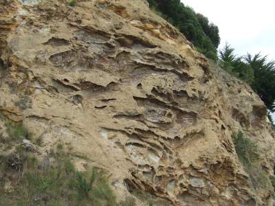 Several cuttings had a kind of cellular structure.
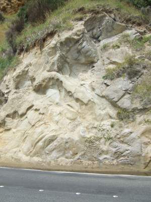 One cutting had an alabaster-looking rock full of lumps.
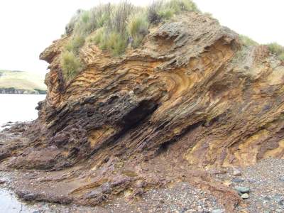 One headland had weird, foldback-looking strata — note also the cone-shaped indentation just below left of centre.
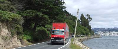 The roads were very skinny, and apart from the first half kilometer generall had little or no edge. I remember once looking down past my left foot another two meters to wet stones. The city buses are actually wider than the lanes here, which makes for frequent games of chicken with the oncoming traffic.
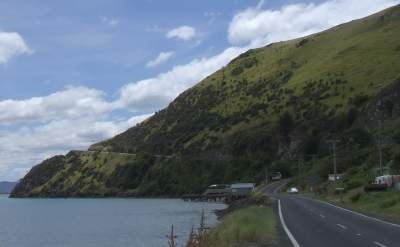 This is the road up to Harington Point.
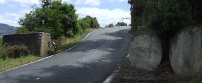 A little way up that slope, we come to this interesting solid concrete gate. Presumably to keep the headland gun batteries from being invaded too easily.
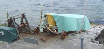 I kept seeing pairs of rails, some down to the water at an angle, some lying on the rocks, some twisted at an alarming angle. Just nearing Harington Point, the mystery was solved when I found a wooden implementation.
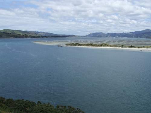 This is the view back towards Dunedin from HP.
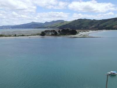 In the throat of the bay was a sandbar — with a house on it. Must be interesting during king tides.
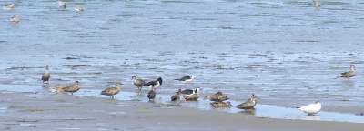 Assorted seabirds on the mudflat near Allans Beach.
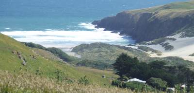 This beautiful and apparently private beach was just south of The Chasm.
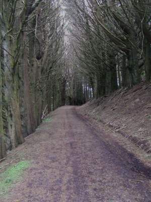 This was the pine-lined walkway to The Chasm. Very impressive.
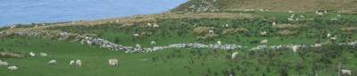 This is one of the ancient drystone walls used before fences. Good idea, too: the sheep shelter behind them when they’re available — a bit hard to do with a wire fence.
 The Chasm itself was very disappointing, but it had some cool rocky coastline nearby.
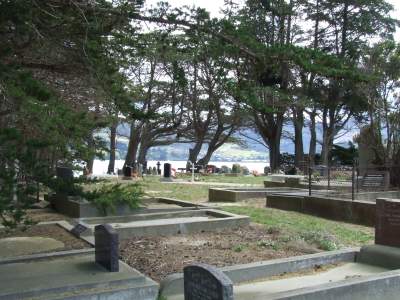 Dunoon has this really pretty little cemetary, surrounded by pines (noisy in the wind, one of the locals tells me) and with magnificent views north and south.
posted by Leon RJ Brooks at
20:26
![]()


0 Comments:
Post a Comment
<< Home