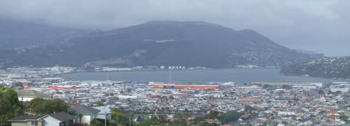
This post is going to be a bit of a photo burst rather than insightful and witty comment on technical matters since my brain’s well overdue for a bit of off-line maintenance, or what mere mortals call “sleep”.
After the miniconfs today (“fastest Debian machine” indeed! :-), I went for a trip up to see the Organ Pipes, a rock formation just north of town. I dropped into the information centre and was told that if I cycled up Norwood Street there was a picnic area at the end of it and “a good two-hour walk” to the Pipes.
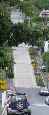
It turned out that Norwood Street rapidly becomes nearly as vertical as their steepest one, and that Mr Advisor had never tried to cycle up it. I gave up even pushing the bike about 1/4 of the way up, parked it behind a fence and walked the rest of the way. (Well... walk 20m, pause there puffing like a loco, walk 20m...) No picnic area. A 3km walk along North Road (which I could have cycled up) to the carpark for the Pipes. The best part of a near-vertical kilometer up a treacherous and knobbly path through the bush to the Pipes. Climb the Pipes.
Nice view.
Down the pipes. Down the track. 3km back to Norwood Road. Endless jelly-legged torture back down to the bike. Hop on the bike. Gently, carefully down until there are no more blind corners, then let rip. Whoosh, like a rat up an acqueduct. I don’t need to pedal again until Mechanic Street, about 2.5km from the steep bit of Norwood Road.
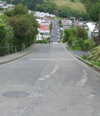
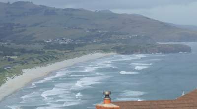
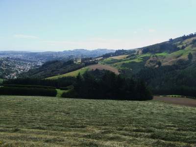 This is the view of Dunedin from Norwood, demonstrating just how far up it came in so few meters.
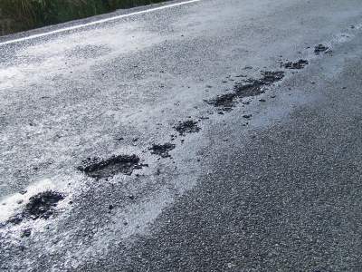 On North Road, both down on the flat and up on the ridge, cars going past made a noise like driving through puddles. This was in fact the bitumen melting and sticking to their tyres. It stuck to my tyres, too. In some places, it evidently preferred the tyres to the roadbase.
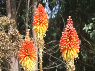 These are some Red Hot Pokers on Norwood. These flowers are common here (in Perth, they’re a bit of a novelty).
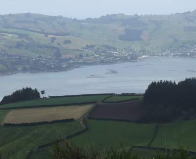
 The town of Portabello from North Road on the slopes of Mount Clarendon.
 Early in the climb, I watched a cruise liner gingerly navigating out past Harington Point.
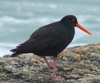
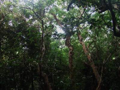 On the path up from the road to the Pipes, a little bird came and investigated me. He sat less than a metre away, occasionally flitting from branch to branch, not panicking, just checking me out. Here he was about 2.5m away. In the next shot I've cropped out just the bird at full rez.
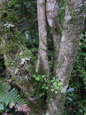
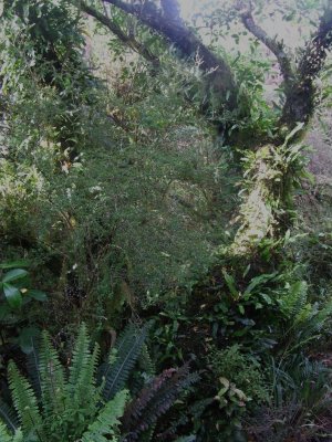
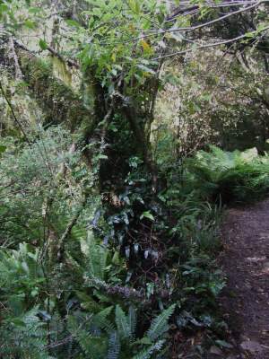
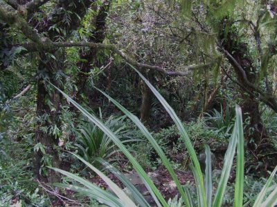
 The next shots are some of the flora alongside the path. It gets quite jungly.
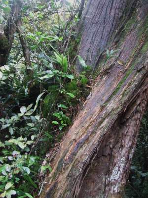
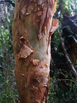 They have a kind of paperbark here too.
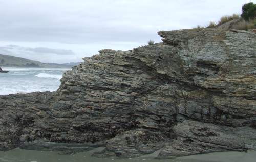
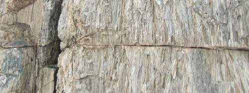
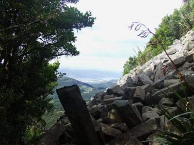 The Pipes formation is slanted at a signficant angle, and over the years individual “pipes” have broken off and rolled down the slope. This is the first thing you encounter at the end of the path.
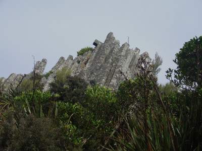 This is what the Pipes look like viewed from the rubble pile.
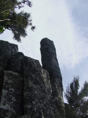 One of the pipes stands out like a sentinel, warily watching the visitor.
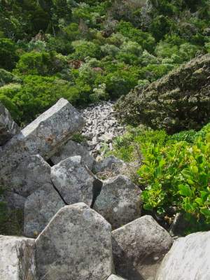 Looking down, one can see the rubble pile surrounded by bush.
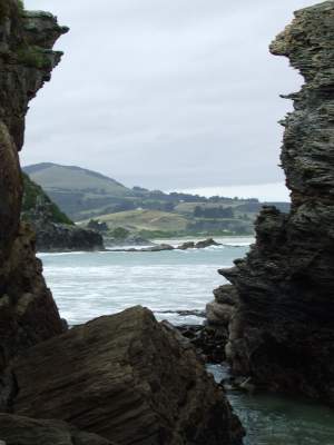
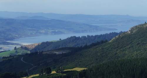
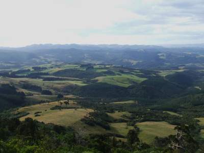 The views from the Pipes are spectacular, greeen country leading to rugged hills or blue sea.
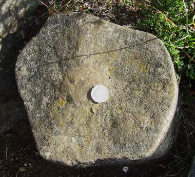 Here’s a typical Pipe with an Aussie 50c piece for scale.
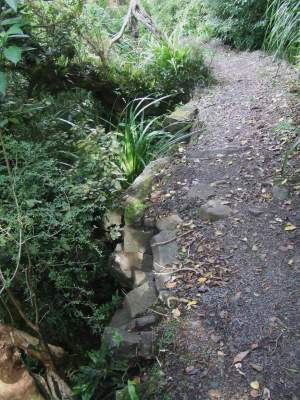 Pipe exfoliation has evidently been going on for a very long time. Bits of Pipe abounded on and around the path, as far as I could see into the bush.
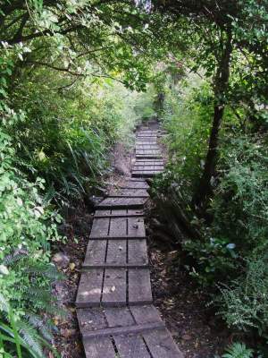 Some sections of the path were too soggy or needed a bridge; these were typically covered with chicken-wire-reinforced boards. Chicken-wire and bird-mesh seems to be a common way to add grip to wooden stairs and the like.
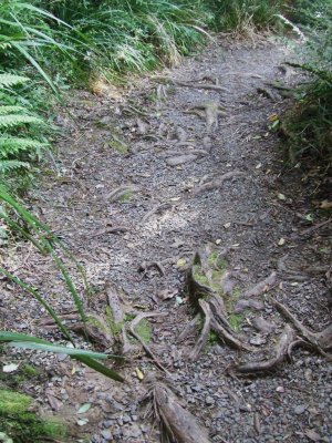 In some places, the path had worn away to expose a multitude of roots. This made the footing particulrly risky.
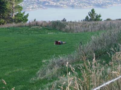
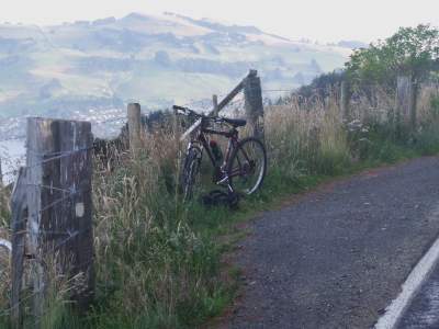 On the way back down North Road, I ran across a bike parked against the fence. This led me to a lass who had plonked herself down in a paddock to watch the sunset paint Port Chalmers and Taiaroa Head.
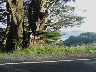 The next thing I found was a piece of country humour. The symbol is a red H in a circle, for a fire hydrant. The nearest piped water would be at least 2km away, and there’s no buildings within cooee to extinguish.
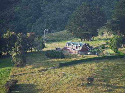 Some of the farm-houses near the route were very nice. Here’s one across the valley from Norwood.
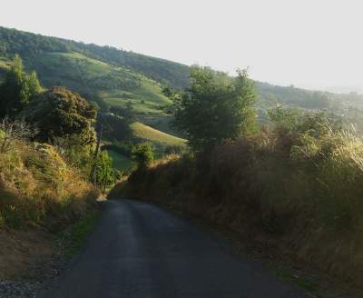 Just to underscore the point, here is what Norwood Road does at a point about 150m above the spot I parked the bike at.


 This is the view of Dunedin from Norwood, demonstrating just how far up it came in so few meters.
 On North Road, both down on the flat and up on the ridge, cars going past made a noise like driving through puddles. This was in fact the bitumen melting and sticking to their tyres. It stuck to my tyres, too. In some places, it evidently preferred the tyres to the roadbase.
 These are some Red Hot Pokers on Norwood. These flowers are common here (in Perth, they’re a bit of a novelty).
 The town of Portabello from North Road on the slopes of Mount Clarendon.
 Early in the climb, I watched a cruise liner gingerly navigating out past Harington Point.
 On the path up from the road to the Pipes, a little bird came and investigated me. He sat less than a metre away, occasionally flitting from branch to branch, not panicking, just checking me out. Here he was about 2.5m away. In the next shot I've cropped out just the bird at full rez.
 The next shots are some of the flora alongside the path. It gets quite jungly.


 They have a kind of paperbark here too.
 The Pipes formation is slanted at a signficant angle, and over the years individual “pipes” have broken off and rolled down the slope. This is the first thing you encounter at the end of the path.
 This is what the Pipes look like viewed from the rubble pile.
 One of the pipes stands out like a sentinel, warily watching the visitor.
 Looking down, one can see the rubble pile surrounded by bush.
 The views from the Pipes are spectacular, greeen country leading to rugged hills or blue sea.

 Here’s a typical Pipe with an Aussie 50c piece for scale.
 Pipe exfoliation has evidently been going on for a very long time. Bits of Pipe abounded on and around the path, as far as I could see into the bush.
 Some sections of the path were too soggy or needed a bridge; these were typically covered with chicken-wire-reinforced boards. Chicken-wire and bird-mesh seems to be a common way to add grip to wooden stairs and the like.
 In some places, the path had worn away to expose a multitude of roots. This made the footing particulrly risky.
 On the way back down North Road, I ran across a bike parked against the fence. This led me to a lass who had plonked herself down in a paddock to watch the sunset paint Port Chalmers and Taiaroa Head.

 The next thing I found was a piece of country humour. The symbol is a red H in a circle, for a fire hydrant. The nearest piped water would be at least 2km away, and there’s no buildings within cooee to extinguish.
 Some of the farm-houses near the route were very nice. Here’s one across the valley from Norwood.
 Just to underscore the point, here is what Norwood Road does at a point about 150m above the spot I parked the bike at.